

Suriname tribe protects the Amazon rainforest amid illegal cutting and mining (Video)
Technology · First reported 26 Oct, 17:02 · Updated 19:02
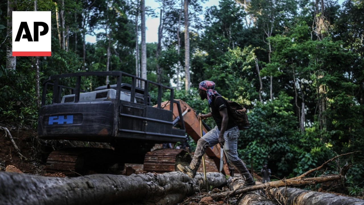
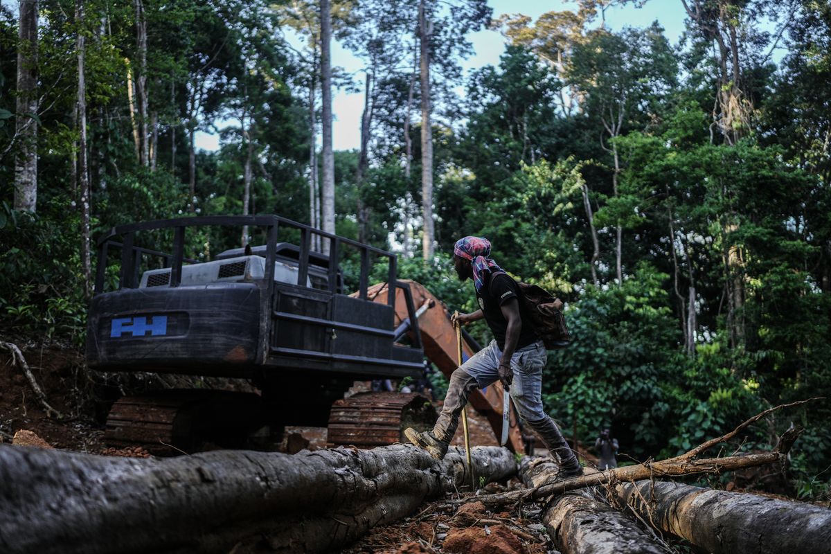
The Saamaka people in Suriname are using mapping, satellite imagery and patrols to document forest incursions and seek recognition of their traditional land rights.
- Saamaka communities are using satellite images, GPS mapping and patrols to track logging and mining incursions.
- The Apaki mapping initiative was named in November 2025; the communities hope documentation will support government recognition of their traditional forest management and lands.
- A 2007 Inter-American Court ruling ordered Suriname to demarcate Saamaka territory and grant collective title, but the article says key parts remain unimplemented.
Summary written by Lux AI from 2 articles
Source spectrum
Far left
Left
Lean left
Centre
Lean right
Right
Far right
Left 0 · Centre 2 · Right 0 of 2 rated sources
Images from the coverage
All coverage
Coverage over time
LeftCentreRight
Articles per hour since first reported, by side.
Ownership
- Unknown 100% (2)
Share of the 2 sources by owner type.